

Mexico Map AutoCAD File Download
Advertisements
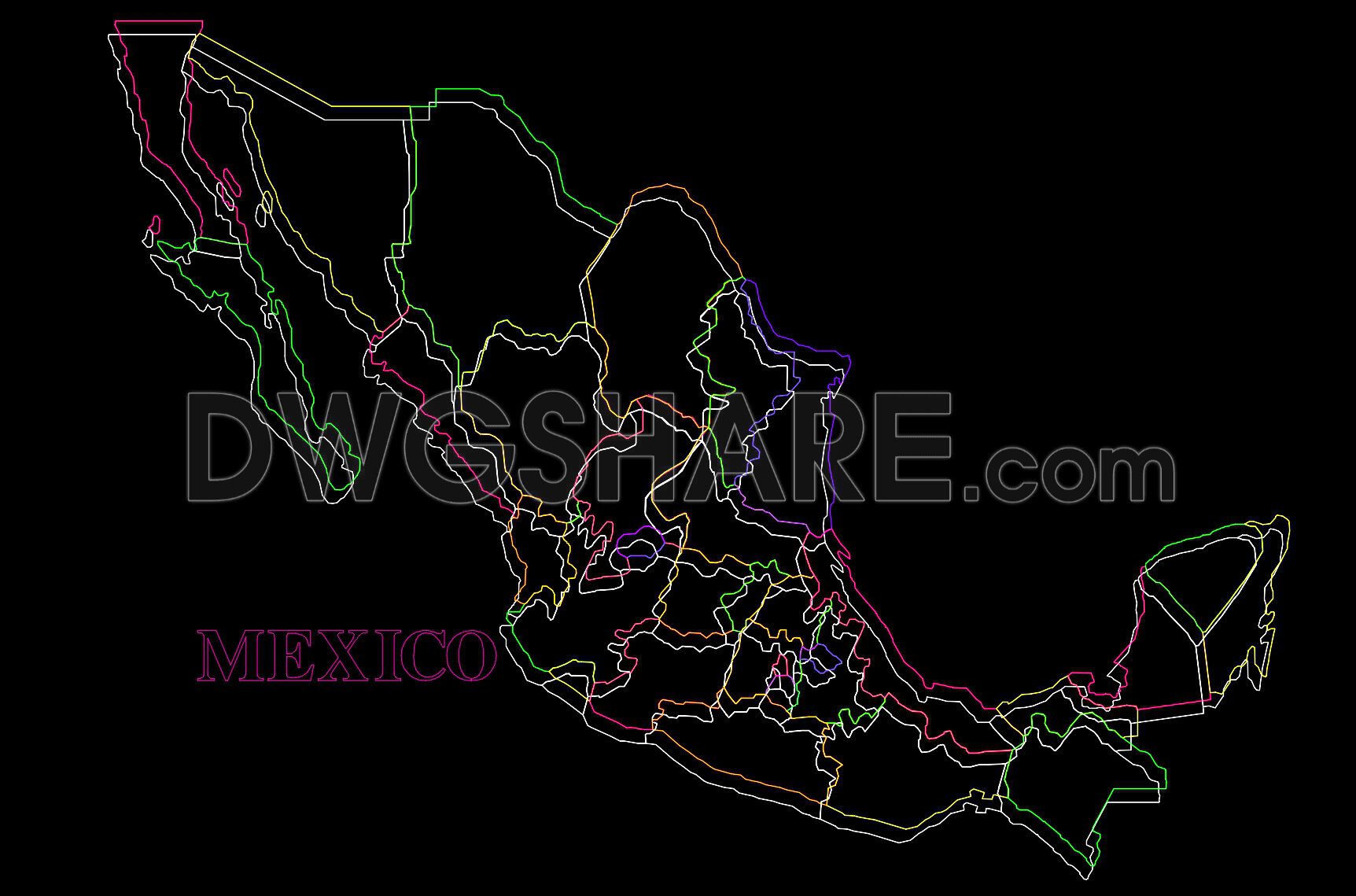
Mexico Map AutoCAD File Download
Explore the comprehensive Mexico Map AutoCAD File Download, featuring expertly detailed CAD drawings. These files offer a complete view of Mexico’s geographical layout, essential for professionals in architecture and construction. The drawings cover various dimensions and scales, providing a versatile toolkit for multiple projects. These AutoCAD files are meticulously designed to assist in planning and development projects. Key features include:
- Precise regional boundaries
- Detailed topographical data
- Layered design for easy customization
By utilizing these CAD files, users can significantly enhance accuracy in project planning and execution. The editable nature of these files supports smooth collaboration among team members, optimizing time and resources. Their availability for free download ensures accessibility to high-quality resources without financial burden, making them invaluable in fields like architecture, interior design, and urban planning. Whether for educational purposes or professional use, these CAD files facilitate efficient design practices, allowing users to innovate and create with precision.
I also recommend downloading other Geography, Maps Archives CAD drawings for your project reference.
- File format: .DWG
- Size: 262 KB
- Source: DWGshare
- AutoCAD platform 2018 and later versions. For downloading files there is no need to go through the registration process
Advertisements