

145. Drawing of Urban Regulation with Construction Lines
Advertisements
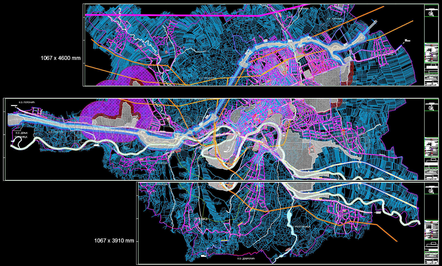
145. Drawing of Urban Regulation with Construction Lines
Explore the intricacies of urban regulation with construction lines through these detailed CAD drawings. Featuring multiple views of an urban planning project, these drawings are essential tools for architects and construction experts. They encompass comprehensive plots that define urban boundaries and layout plans, outlining existing infrastructure and projected developments. These plans measure 1067 x 4600 mm and 1067 x 3910 mm, providing a broad view of urban landscapes.
Key features include:
- Vividly colored zoning areas for easy identification
- Clearly marked road networks and waterways
- Well-defined construction lines that guide precise urban development
The use of these drawings in architecture and construction offers numerous benefits. They ensure accuracy, facilitate easy modifications, enhance collaboration among teams, and optimize costs effectively. By providing a clear and detailed visual roadmap, these files serve as a cornerstone for successful urban planning and design. Best of all, these CAD DWG files are available for free download, enabling architects and planners to use them as valuable references in their projects.
I also recommend downloading other Urban, Landscaping CAD drawings for your project reference.
- File format: .DWG
- Size: 17 MB
- Source: DWGshare
- AutoCAD platform 2018 and later versions. For downloading files there is no need to go through the registration process
Advertisements