
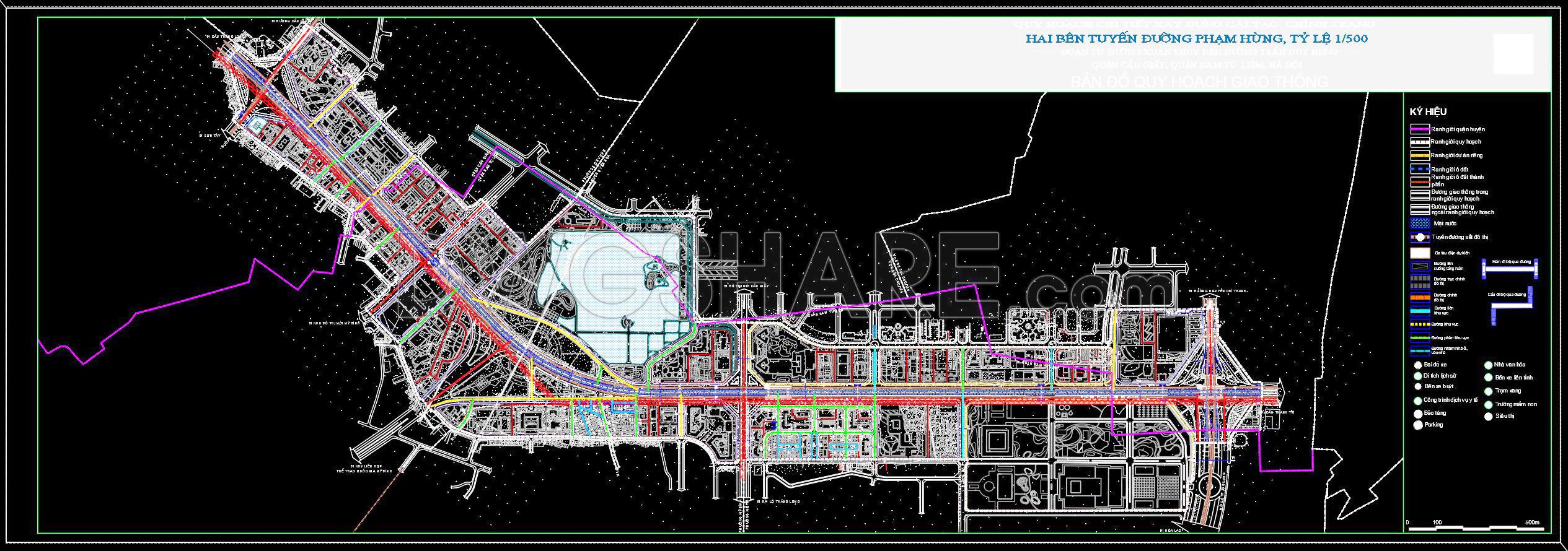
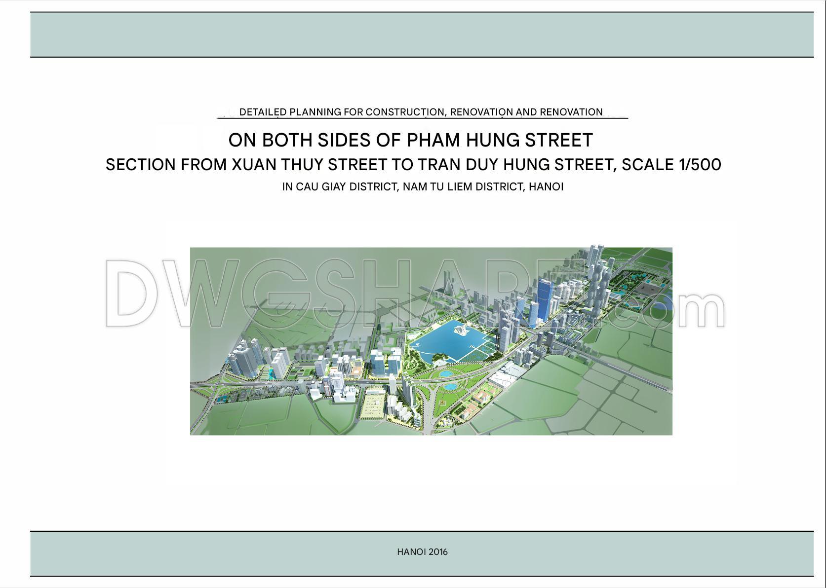
154. Free Download Traffic Planning CAD Drawing for Both Sides of Ring Road 3
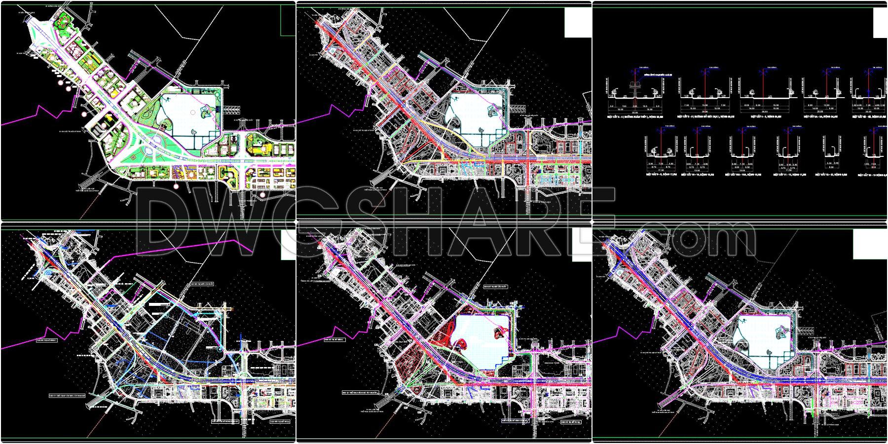
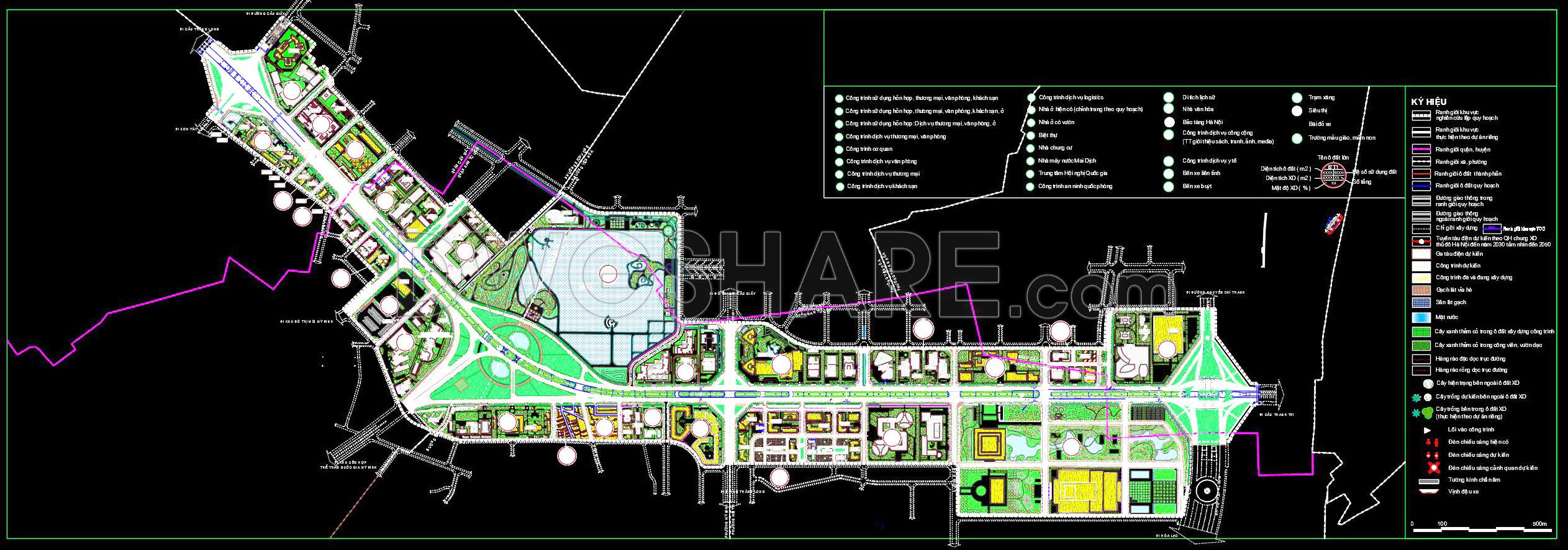
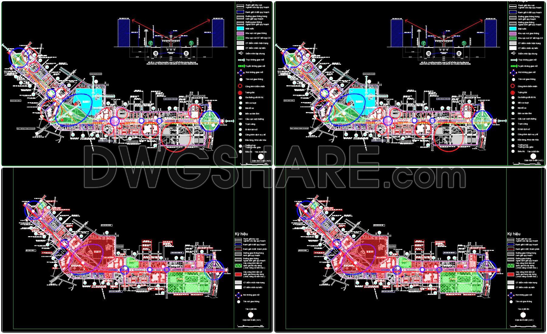
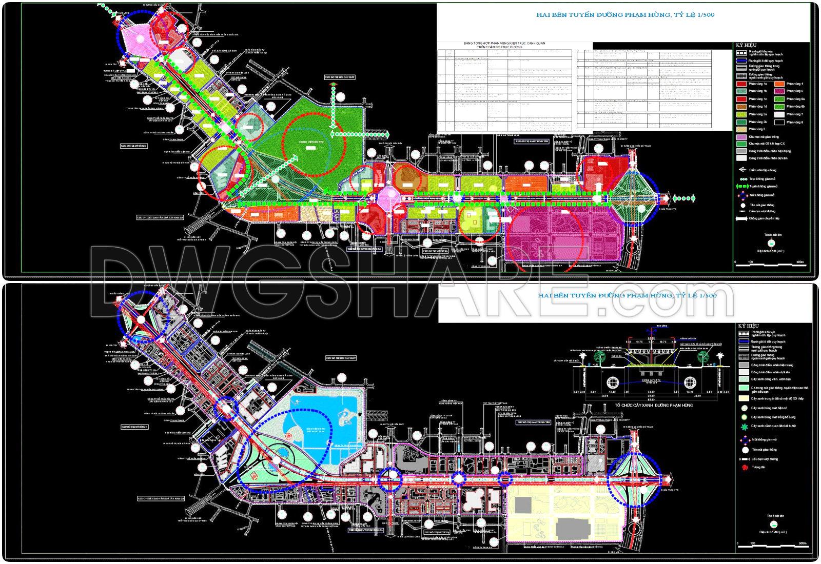
The CAD drawing illustrates the transportation planning on both sides of Pham Hung Road at a 1/500 scale. The map uses a detailed system of colors and symbols to define planning boundaries, land plots, and protection corridors for infrastructure such as electricity, water, drainage, and communication lines. Existing, planned, and proposed roads are clearly marked, along with traffic structures like roundabouts, underpasses, and overpasses. Additionally, the map displays routes for buses, subways, urban railways, and national railways.
I also recommend downloading other Urban, Landscaping CAD drawings for your project reference.
- File format: .DWG
- Size: 12.7 MB
- Source: DWGshare
- AutoCAD platform 2018 and later versions. For downloading files there is no need to go through the registration process
In addition, you can download the complete project documentation here.
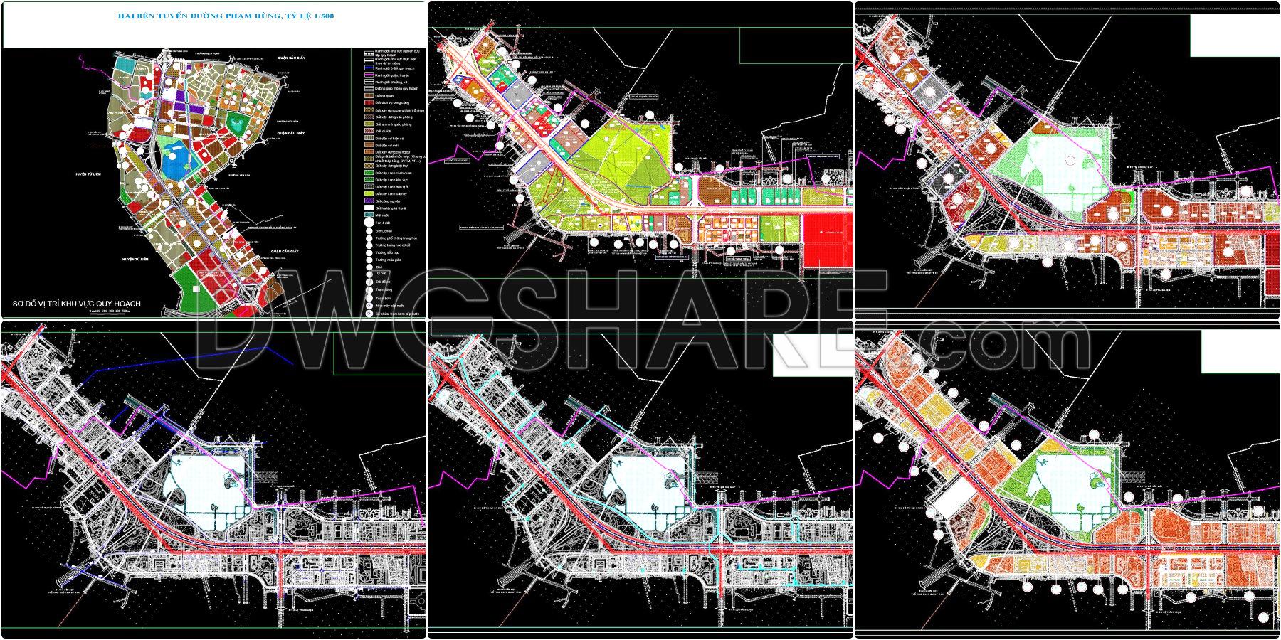
- Overall planning boundary: Outlines the scope of the planning area.
- District and ward boundaries: Defines administrative divisions within the planning zone.
- Planning block and land lot boundaries: Identifies specific blocks and plots for functional zoning.
- Transportation system: Includes main roads, internal roads, roundabouts, underpasses, and overpasses.
- Public transit routes: Covers bus lines, rapid bus routes, subways, urban railways, and national railways.
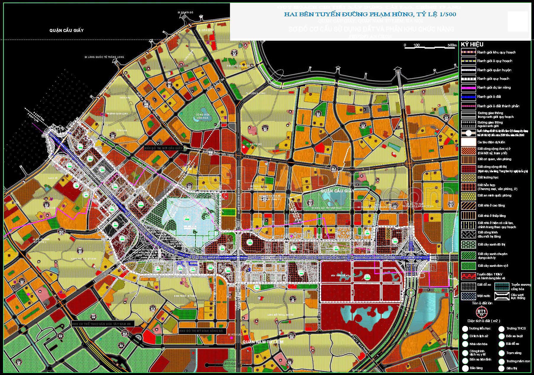
- Land use zoning:
– High-rise and low-rise residential areas, resettlement zones
– Public facilities (education, healthcare, sports, administration)- Mixed-use zones (commercial, service, office, residential)
– Green spaces: thematic, buffer, residential, landscape
– Religious, cultural, and heritage sites
– Technical infrastructure and utility hubs
- Water bodies and natural landscapes: Lakes, canals, riverside parks
- Parking lots and gas stations: Locations for traffic and urban amenities
- Planning parameters: Land area, building height, construction density, land use coefficient
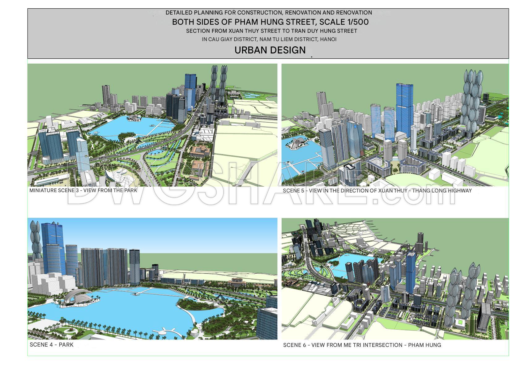
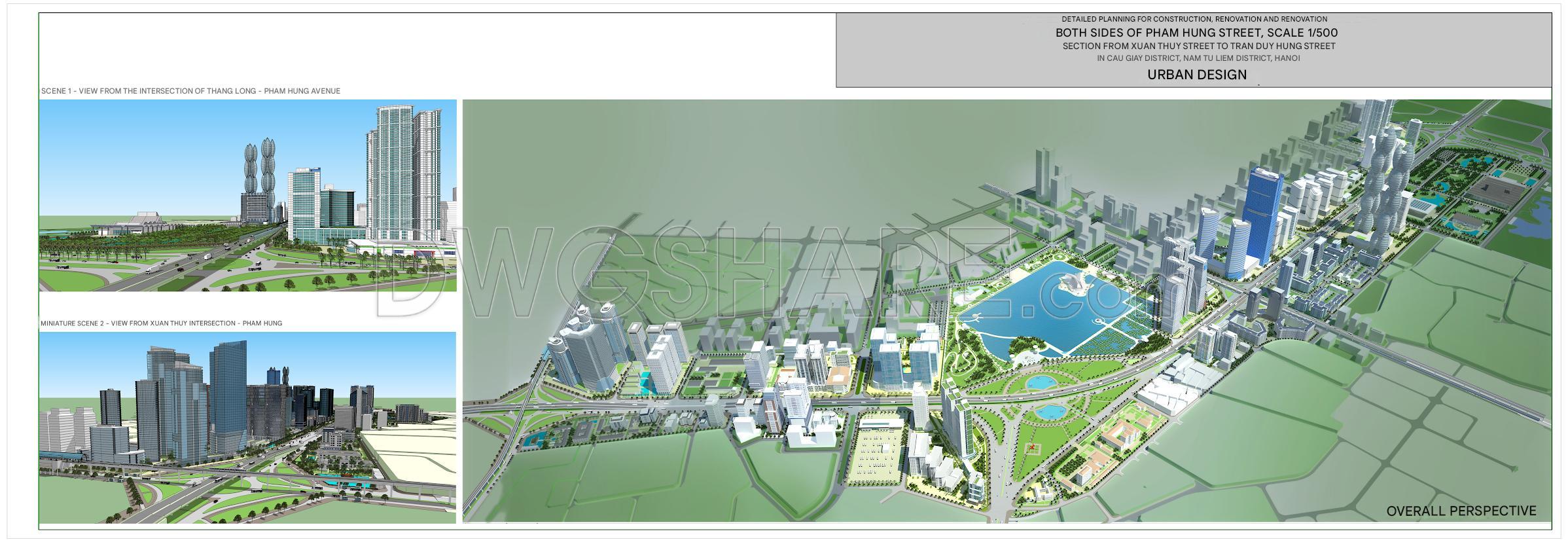
- 3D perspective drawings: Views from major intersections like Xuan Thuy, Me Tri, Thang Long – Pham Hung, showcasing a modern urban space
If you find our work useful, your support would mean a lot and help us grow even better.DONATE
Related posts
127. CAD Drawing of Finished part 1 Planning for Download
Theater Layout Plan Details With 1500 Seats Full Project AutoCAD File DWG
Business Hotel Plan and Elevation Details Autocad File DWG
20.Primary Processing Plant CAD
102. Free Download Typical Layout Plan of 8-Storey Hotel
2.Architectural Building Elevation AutoCAD blocks free download
Biochemical Laboratory Plan and Elevation AutoCAD File Free Download
71.Autocad Drawing Of Planter Typical Details For Free Download
Aeropuerto del cusco autocad dwg file