
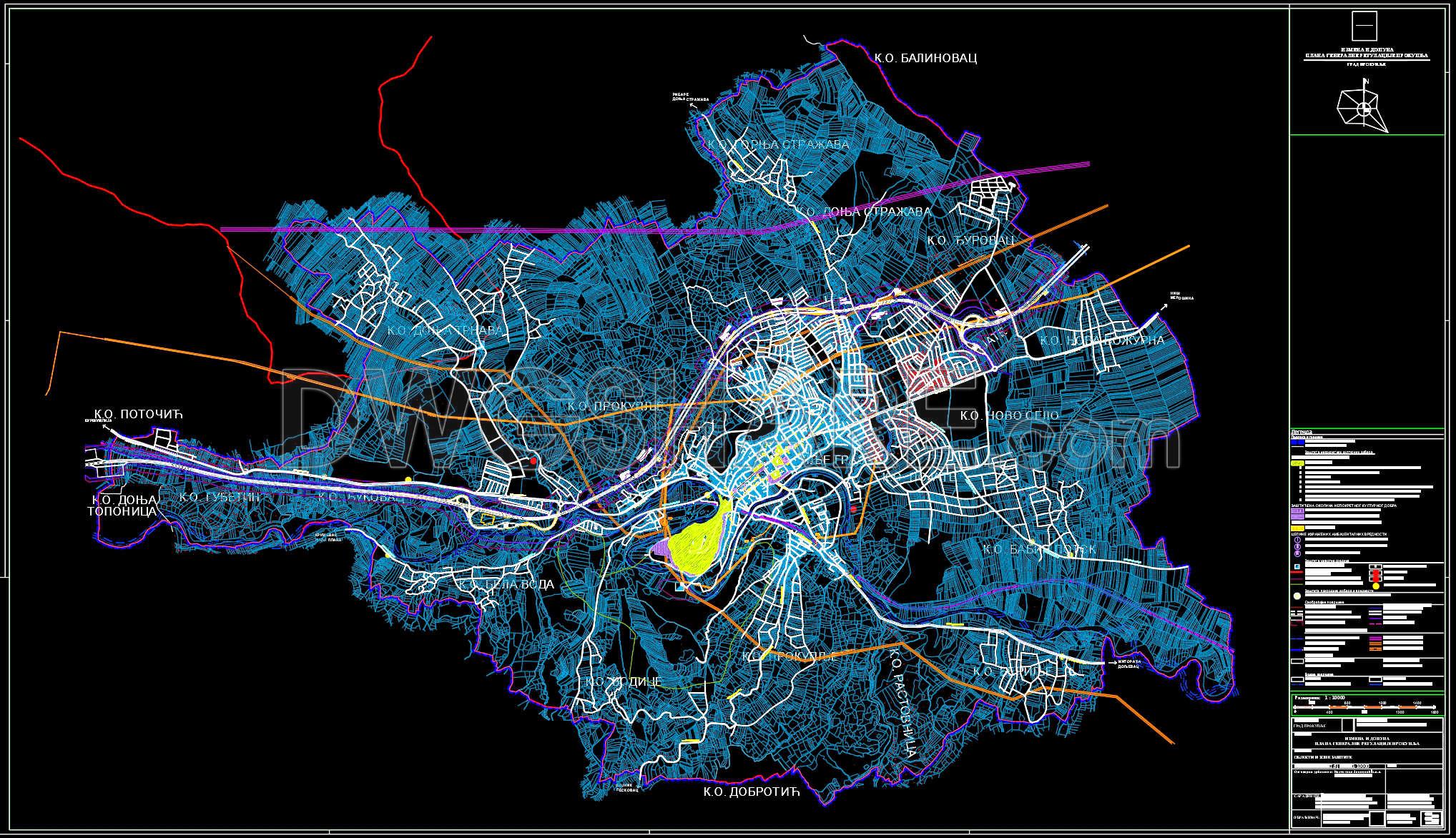
147. CAD Drawing of Protected Buildings and Zones
The CAD drawings presented here offer a comprehensive overview of protected buildings and zones, highlighting the intricate mapping of designated areas. These files, available in the DWG format, provide detailed insights into various architectural and zoning aspects. The drawings serve multiple purposes, from planning to conservation, providing essential data for architects and urban planners.
Key components include:
- Detailed block layouts
- Zoning boundaries
- Infrastructure pathways
- Highlighted protected areas
The drawings are meticulously designed with dimensions that offer precise measurements, enhancing their utility in real-world applications. The benefits of using these CAD drawings are vast. They ensure accuracy, facilitate easy editing, and promote smooth collaboration among stakeholders. This ultimately leads to cost optimization and efficiency in projects related to architecture, interior design, and construction. These files are freely available for download, offering users valuable resources for reference and practical use in their projects.
I also recommend downloading other Buildings CAD drawings for your project reference.
- File format: .DWG
- Size: 16 MB
- Source: DWGshare
- AutoCAD platform 2018 and later versions. For downloading files there is no need to go through the registration process
If you find our work useful, your support would mean a lot and help us grow even better.DONATE
Related posts
187. Free Download CAD Land Use and Transportation Planning Map of Duc Giang Ward
14.Swimming pool plan elevation AutoCAD blocks free download
84.Autocad Drawings Of Police Station Layout Plan and Elevations Details For Free Download
6.landscape design of school AutoCAD blocks free download
101.Autocad Drawing Of Urban Garden Plan Design Layout Plan For Download
167. Outdoor Garden Landscape Layout Plan – Greenery Arrangement (CAD Drawing)
122. Detailed drawings of the indoor garden in a townhouse
144. Drawing of Traffic Solution with Street Regulation Lines, Public Use Areas, and Leveling Plan
25.Cricket Stadium Drainage Layout Plan CAD